The city literally bloomed out of Pasig River, where the Islamic Kingdom of Maynilad existed as a Fortress with wooden walls until Miguel Lopez de Legaspi invaded the city, 1571.
The current stone walls existing today was only built starting 16th century, with a height of 6 meters and a width of more than a hundred meters, the walls surely gives the city an invulnerable protection.
In the Spanish Period, the enclosure itself marks the whole of the city. The outlying areas (Ermita, Malate, Binondo, San Nicolas, Santa Cruz) were just arraballes of suburbs. Expansion only started in the latter period of Spanish Rule.
The walls survived numerous earthquakes and fires, but not the Battle of Manila in 1945, which reduced the Beautiful City into a piece of Rubble.
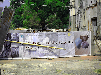
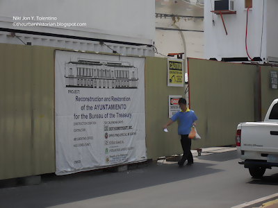
Restoration works started after the war, in which the Manila Cathedral is the first to be restored. Intramuros Administration was solely in charge of the restoration and urban plans of the walled city.
Currently, numerous buildings have been restored to their full grandeur and glory and more still awaits.
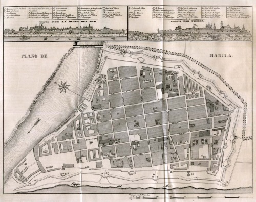
Plan of Intramuros, 1851, Map source here
Plan of Intramuros, 1898, map source here
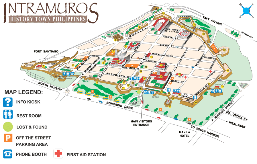
contemporary map of Intramuros, map source here


